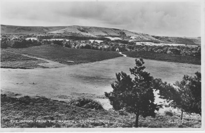
Photographs of Sullington Warren show that even in the relatively recent past the landscape was less wooded and more open. The earliest photograph in this collection is from 1930. By the 1930s the edges of the Warren were being nibbled away by developments and a plan was drawn up for the development of an estate of 109 houses on the whole of the Warren. Fortunately the efforts of various parties, including Miss Enid Clarke-Williams, resulted in the Warren being saved.
Our thanks to Jean and Ian MacWhirter for providing these photographs.
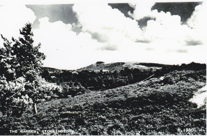
1930s
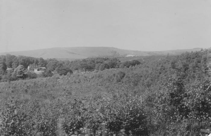
The photograph below of a view from Heath Common towards Sullington Warren shows that the Warren, and the scarp slope of the Downs, was a relatively treeless landscape.
This photograph from 1935, attributed to Miss Greenfield, shows how sparse the trees were around the ‘Green’, with fewer paths across the heather.
1940s and 1950s
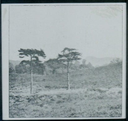
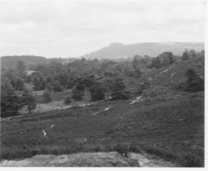
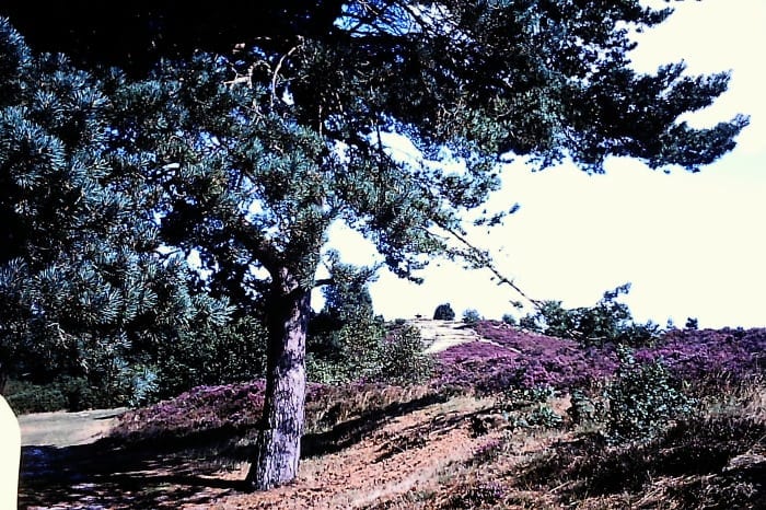
A feature of the Warren was two lone pines at the base of hill that now has the ’39 Steps’. It is understood that one of these pines still exists and can be recognised by its flat top, and the other pine is now a bare stump a four or five feet high (between one and 2 metres). The date of this photograph is not known but it is probably from the late 1940s / early 1950s. Chanctonbury Ring can just be seen in the distance. The area behind the pines which is currently fairly densely covered with Scots pines was largely treeless.
Another view southwards to Chanctonbury Ring, which looks like was taken from the top of one of the Bronze Age barrows, from circa 1950.
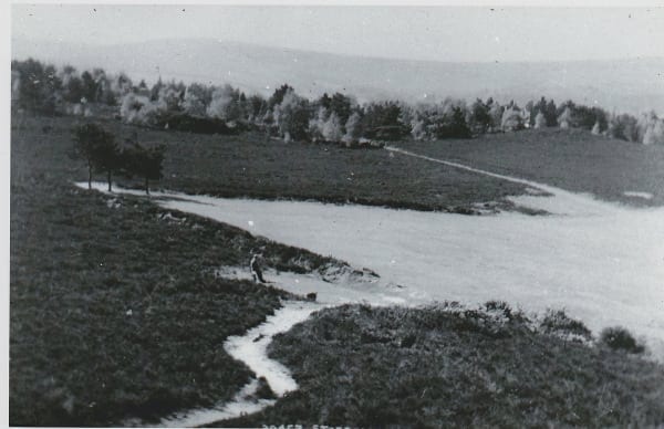
Also from circa 1950, this time the view is from the large barrow with the stone seat across the ‘Green’ towards the South Downs. When compared with the earlier photograph taken from a similar viewpoint you can see that the view hardly changed in the intervening years.
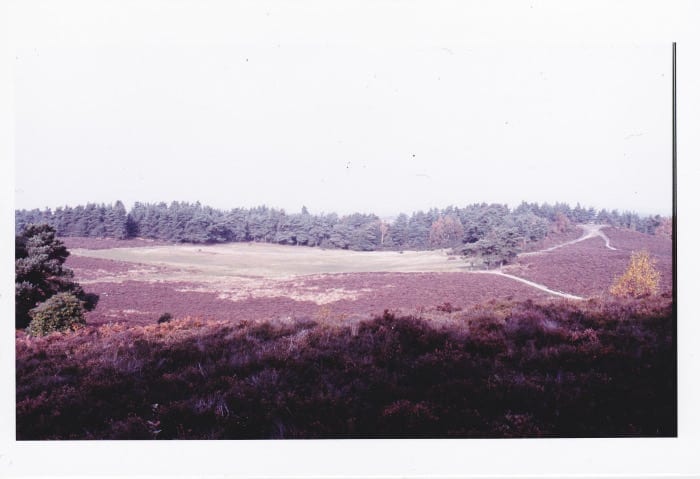
From 1958 another view from the Warren, south-east towards Chanctonbury Ring. The view point is recorded as the stone seat on the large barrow. You can see the ‘Sentinel Pines’ at the base of where the ’39 Steps’ now are. You can also see a large area of heather behind the pines where the NT have recently been felling the trees in order to recover this heathland.
1960s
A view towards the Warren from Bracken Lane taken in 1961. This is looking west from Ridge Cottage (now Ridge Top) overlooking the Thakeham Tiles sandpit. You can see the dark patches of heather on the slopes of the barrows.
1970s
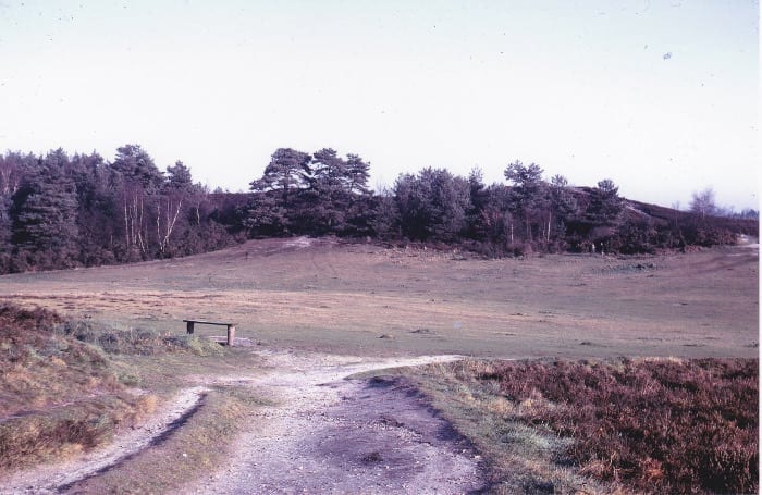
The next two photographs are two views across the ‘Green’ taken in 1975 from different directions. The first is a winter view from January taken from the track leading to Woodpecker Lane.
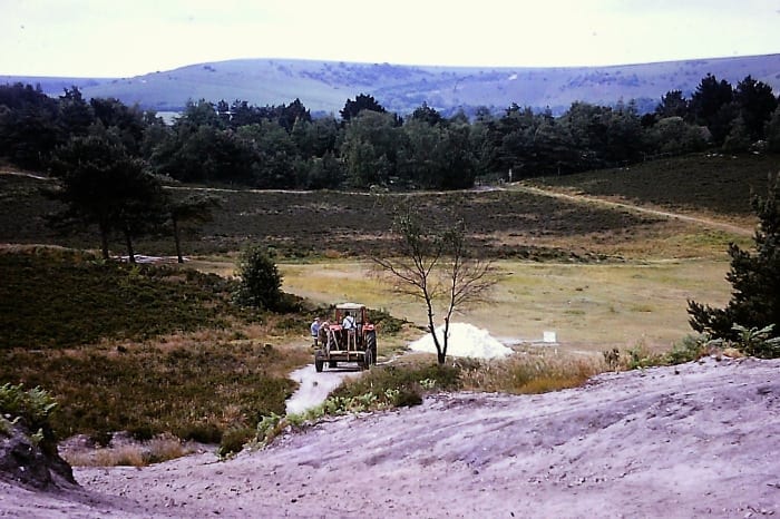
The next is a summer view taken from the stone seat. The tractor driver has been identified as Tony Jenner who was the local National Trust warden at the time. The work being done was repairing the eroded path to the stone seat. A pile of material can be seen next to the tractor.
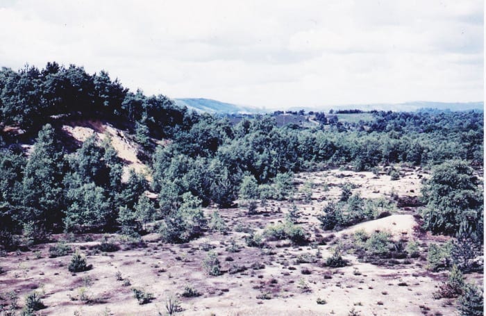
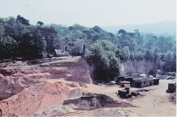
A small departure as we now have a photograph taken from the Warren across what used to be Angell’s Pit (or Angel’s /Angel Pit) to the cottages that at one time was a school. Sand excavation finished soon after this photograph was taken, by 1979 and the quarry filled in with inert material to meet the planning requirement to return the surface of the pit back to heathland to match the Warren on its northern boundary. The hope was that in time this area would become part of the proposed Sandgate Country Park, however this ambition has taken a severe knock due to the site not being handed over to the National Trust in accordance with the original planning conditions and more recently being transferred from the Local Green Spaces report in an early draft of the Neighbourhood Plan to the Allocated Sites for Development list in the submitted version of the Neighbourhood Plan following representations by the landowner. The school house is now two Grade II listed residential properties: School Cottage and Chestnut Cottage (formerly Jasmine Cottage).
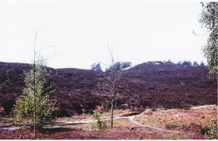
Another photograph from May 1976 but this time towards the stone seat on the large barrow from near the bottom of the ’39 Steps’. The good cover of heather and relative lack of trees and shrubs is evident, especially the lack of brambles which may have increased in recent years due to increased fertilisation by dog waste.
1980s
Two photographs towards the stone seat, one taken in August 1982 and the other in July 1983
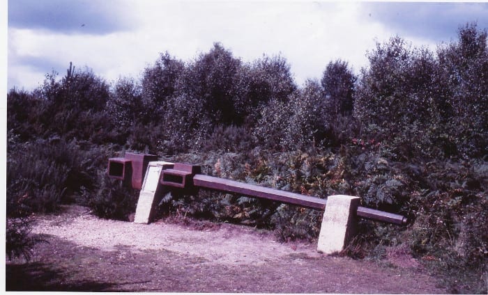
Finally, back to August 1982 to a photograph that shows the windmill shaft, currently within fairly dense woodland, sited within a relatively open area of heath just showing signs of becoming overgrown by gorse and pines. When the windmill existed it would have been standing on open heath.